AERIAL LAND MANAGEMENT
A New Perspective on Land Management
Our drones make land management faster, safer, and more precise — from mapping and invasive species control to habitat restoration and public health spraying
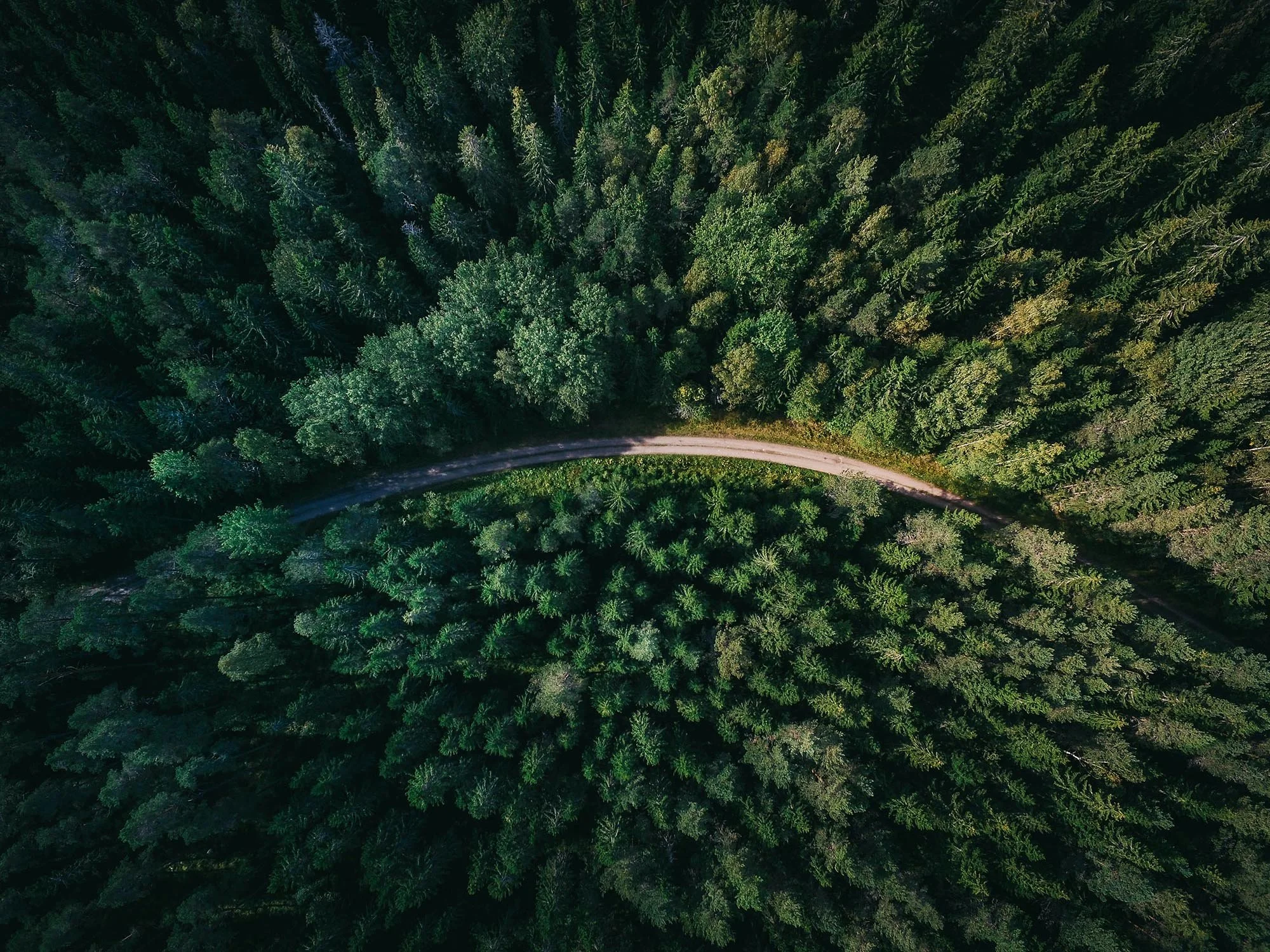
Aerial Imagery & Mapping
Showcase properties with stunning high-resolution aerial visuals while capturing essential data for planning, development, and marketing. Our drones create detailed 3D models, top-down imagery, and orthomosaic maps that highlight lot boundaries, terrain features, and building placement. Perfect for real estate marketing, site planning, and property documentation, this service provides actionable insights and striking visuals without the need for traditional surveys.
Reforestation & Habit Restoration
Drone-based seeding allows rapid reforestation of large or inaccessible areas. Supports habitat restoration, soil stabilization, and ecological projects with minimal labor and maximum coverage.
Invasive Species Control
Apply herbicides precisely to control invasive plant species without impacting native vegetation. Drones allow targeted, environmentally responsible interventions in areas that are difficult to access manually.
Mosquito & Pest Control
Aerial spraying for mosquito and other public-health-related pests in wetlands, ponds, and urban environments. Provides fast, efficient coverage with reduced risk to personnel and the environment.